Welcome to Swampscott
Swampscott is a beautiful and tranquil seaside community of 14,722 residents located 15 miles northeast of Boston along the coastline of the Atlantic Ocean. Swampscott offers a friendly, welcoming and nurturing family environment, an excellent pre-school to grade 12 public educational system, superb public safety and support systems, abundant youth sports opportunities and a town government which is responsive to the needs of its citizens.
Key Details
Settled - 1629
Incorporated - 1852
County - Essex
Zip code - 01907
Area
Total - 6.7 sq mi (17.4 km2)
Land - 3.1 sq mi (7.9 km2)
Water - 3.7 sq mi (9.6 km2)
Population (2010)
Total - 14,722
Density - 4,447.4/sq mi (1,745.2/km2)
Resources
-
Transportation
The MBTA provides passenger rail service from Boston's North Station with the Swampscott station on its Newburyport/Rockport Line, as well as several bus lines. An abandoned 4-mile branch of the Boston & Maine Railroad originating in Swampscott serves as Marblehead rail trail.
The closest access to the subway is the Blue Line at Wonderland station in Revere, Massachusetts.
Swampscott is located along Massachusetts Route 1A and Route 129. Both routes enter from Lynn, with Route 1A passing north of the town center towards Salem, and Route 129 following the coast for a half mile before going inland north of Phillips Point and returning to the coast before heading into Marblehead. There is no highway within town, which lies well south of Massachusetts Route 128 and Interstate 95. The town is served by numerous MBTA bus routes which lead into the surrounding towns.
The nearest air service can be reached at Beverly Municipal Airport, and the nearest national and international air service can be found at Boston's Logan International Airport.
Geography
Located beside Massachusetts Bay and the Atlantic Ocean, Swampscott lies along a mostly rocky shoreline, though there is enough clear shore for five beaches; Phillips which stretches into Preston and is by far the largest beach in town, Eisman's and Whales, Fisherman's, and a part of King's Beach, which extends into Lynn. There are several small parks, along with the small Harold King Forest in the northwest corner of town and the Tedesco Country Club which bisects part of the town. The town also has two small ponds, Foster Pond and Palmer Pond.
Swampscott is mostly suburban, with most of the clear land in the northwest corner of town. There are three villages within town, Beach Bluff to the east, Phillips Point to the south, and Phillips Beach inland between the two.
History
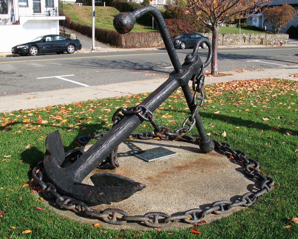
Swampscott was first settled in 1629 as the eastern part (Ward One) of Lynn, and was set off and officially incorporated in 1852. A beach town north of Boston, measuring 3 square miles (7.8 km2), and abutting Salem, Marblehead and Lynn, Swampscott was an important destination for the wealthy at the beginning of the 20th century. While Revere Beach, which lies just several miles down the road, has the honor of technically being America's first public beach, Swampscott was the de facto first resort town. Lynn was the divider between the poor beach and the rich resort town. The name "Swampscott" comes from the language of a local Native American tribe, and means "red rock".
-
Eisman's Beach
Elihu Thomson House, aka Swampscott Town Hall
Fisherman's Beach
John Humphreys House
King's Beach
Mary Baker Eddy Historic House
Olmsted Subdivision Historic District, located on Monument Avenue
Phillip's Beach
Swampscott Fish House
Tedesco Country Club
-
Clarke Elementary
Hadley Elementary
Stanley Elementary
Swampscott Middle School
Swampscott High School
Swampscott's public school system includes three elementary schools, Hadley School, Clarke School, and Stanley School, one middle school, Swampscott Middle School, and one high school, Swampscott High School. The Machon elementary school was shut down in 2008/9, but the property remains on the district's rolls. A new building was completed in 2007 for Swampscott High School.

Properties on Market in Swampscott
Location

Swampscott lies on the south east portion of Essex County, The town is centered around Monument Square, designed by Frederick Law Olmsted; which is 4 miles (6 km) south of Salem, 12 miles (19 km) northeast of Boston, and 20 miles (32 km) southwest of Cape Ann. The town is 23 miles (37 km) to the nearest point in New Hampshire, in the town of Salem. Swampscott is bordered by Marblehead to the northeast, Salem to the northwest, and Lynn to the southwest. The water rights of the town extend into Massachusetts Bay, bordered by those of Marblehead and Lynn.
Swampscott Market Statistics


Check out other communities we service
Boston Neighborhoods
Back Bay, South End, Downtown, Fenway, South Boston, Seaport, East Boston, Allston, Brighton, Jamaica Plain, West Roxbury, Roslindale
West of Boston (Metrowest)
Brookline, Newton, Weston, Wellesley, Sudbury, Wayland, Lincoln, Waltham, Watertown, Dedham, Needham, Sudbury, Framingham, Natick, Westborough, Southborough, Marlborough, Hudson, Ashland, Dover
North of Boston
Cambridge, Somerville, Winchester, Medford, Malden, Melrose, Stoneham, Woburn, Saugus, Arlington, Lexington, Belmont, Burlington, Wilmington
North Shore
Swampscott, Marblehead, Salem, Peabody, Lynnfield, Wakefield, Reading, North Reading, Middleton, Danvers, Beverly, Manchester by the Sea, Gloucester, Rockport, Essex, Ipswich, Hamilton, Wenham, Topsfield, Boxford, North Andover, Andover
*content on this page is a mixture of original and pulled from multiple locations including Wikepedia