Welcome to Needham
Conveniently located just 10 miles west of Boston, Needham is a town of approx. 30,000 residents in Eastern Massachusetts. Multiple highway exits off of I-95, four commuter rail stops, MBTA bus access, a vibrant town center and plenty of public green space make Needham an ideal community to visit, live, work and play
Key Details
Settled - 1680
Incorporated - 1711
County - Norfolk
Zip code - 02492 / 02494
Area
Total - 12.7 sq mi (32.9 km2)
Land - 12.6 sq mi (32.7 km2)
Water - 0.1 sq mi (0.2 km2)
Population (2010)
Total - 28,888
Density - 2,292.5/sq mi (883.4/km2)
Resources
-
Early settlement
Needham was first settled in 1680 with the purchase of a tract of land measuring 4 miles (6.4 km) by 5 miles (8.0 km) from Chief Nehoiden for the sum of 10 pounds, 40 acres (160,000 m2) of land, and 40 shillings worth of corn. It was officially incorporated in 1711. Originally part of the Dedham Grant, Needham split from Dedham and was named after the town of Needham Market in Suffolk, England. By the 1770s settlers in the western part of the town who had to travel a long distance to the meeting house on what is now Central Avenue sought to form a second parish in the town. Opposition to this desire created conflict, and in 1774 a mysterious fire destroyed the extant meeting house. Some time afterwards the West Parish was formed.
Growth and industry
In 1857 the City of Boston began a project to fill in the Back Bay with landfill by filling the tidewater flats of the Charles River. The fill to reclaim the bay from the water was obtained from Needham, Massachusetts from the area of present-day Route 128. The firm of Goss and Munson, railroad contractors, built 6 miles (9.7 km) of railroad from Needham and their 35-car trains made 16 trips a day to Back Bay. The filling of present-day Back Bay was completed by 1882; filling reached Kenmore Square in 1890, and finished in the Fens in 1900. The project was the largest of a number of land reclamation projects, beginning in 1820, which, over the course of time, more than doubled the size of the original Boston peninsula.
In 1865, William Carter established a knitting mill company in Needham Heights that would eventually become a major manufacturer and leading brand of children's apparel in the United States. The site of Mill #1 currently houses the Avery Manor assisted living center, while Mill #2 stood along the shores of Rosemary Lake. By the 1960s, the company owned seven mills in Massachusetts and the south. The Carter family sold the business in 1990, after which Carter's, Inc. moved its headquarters to Atlanta, Georgia.
In the late 1860s William Emerson Baker moved to Needham. A notably wealthy man due to his having improved the mechanical sewing machine, Baker assembled a parcel of land exceeding 800 acres (3.2 km2) and named it Ridge Hill Farm. He built two man made lakes on his property, including Sabrina lake near present-day Locust Lane. Baker turned part of his property into an amusement park with exotic animals, subterranean tunnels, trick floors and mirrors. In 1888 he built a sizable hotel, near the intersection of present-day Whitman Road and Charles River Street, called the Hotel Wellesley which had a capacity of over 300 guests. The hotel burned to the ground on December 19, 1891.
In 1891, George Walker, Boston owner of a lithograph company, and Gustavos Gordon, scientist, formed Walker-Gordon Laboratories to develop processes for the prevention of contamination of milk and to answer the call by enlightened physicians for better babies' milk formulas. This plant was located in the Charles River Village section of Needham with another large facility in New Jersey. The scientific dairy production facilities of the Walker-Gordon Dairy Farm were widely advertised and utilized modern advancements in the handling of milk products.
Incorporation of Wellesley
In 1881 the West Parish was separately incorporated as the town of Wellesley. The following year, Needham and Wellesley high schools began playing an annual football game on Thanksgiving, now the second-longest running high school football rivalry in the United States (and longest such contest on Thanksgiving). Also the longest running public high school rivalry. In 2013 Wellesley broke a 3-year Thanksgiving game losing streak to the Needham Rockets, defeating them 22-6. The Wellesley Raiders now hold a 60-57-9 advantage in the historic rivalry.
With the loss of the West Parish to Wellesley, the town lost its town hall and plans to build a new one began in 1902 with the selection of a building committee. The cornerstone was laid by the Grand Lodge of Masons on September 2, 1902 and the building was dedicated on December 22, 1903. The total cost for the hall was $57,500 including furnishings. Because it was located on the town common, the cost did not include land as none was purchased. In 2011, the town hall was extensively refurbished and expanded. In the process, the second-floor meeting hall was restored to its original function and beauty.
Recent history
Needham's population grew by over 50 percent during the 1930s.
In 2005, Needham became the first city in the United States to raise the age to legally buy tobacco products to 21.
-
Broadmead - Kindergarten and 1st - 5th grade playgrounds
Claxton - Recommended for ages 6 and under
Cricket - Recommended for ages 5 and under
DeFazio - Recommended for ages 7 and under
Eliot - Kindergarten and 1st - 5th grade playgrounds
Hillside - Kindergarten and 1st
Mills - Recommended for ages 6 and under
Mitchell - 1st - 5th grade playground
Newman - Preschool , Kindergarten and 1st - 5th grade playgrounds
Rebecca Perry - Recommended for ages 5 and under
Riverside - Recommended for ages 6 and under
Walker Gordon - Recommended for ages 6 and under.
-
The Town of Needham operates one high school, Needham High School, which underwent a $62-million renovation that was completed in 2009; two middle schools: William F. Pollard Middle School, for seventh and eighth grade, and High Rock School, for sixth grade only; and five elementary schools for grades K-5: John Eliot Elementary School, Hillside Elementary School, William Mitchell Elementary School, Newman Elementary School, and Broadmeadow Elementary School. Needham is currently in the process of building a new elementary school, Sunita L. Williams Elementary School, to replace the aging Hillside Elementary School, scheduled to open in the fall of 2019 or 2020. Needham is also home to catholic schools such as St. Joseph's Elementary School, and Monsignor Haddad Middle School. Needham is also home to St. Sebastian's School, a catholic school for boys in grades 7-12. St. Sebastian's is part of the rigorous Independent School League.
Franklin W. Olin College of Engineering is located in Needham.

Properties on Market in Needham
Location

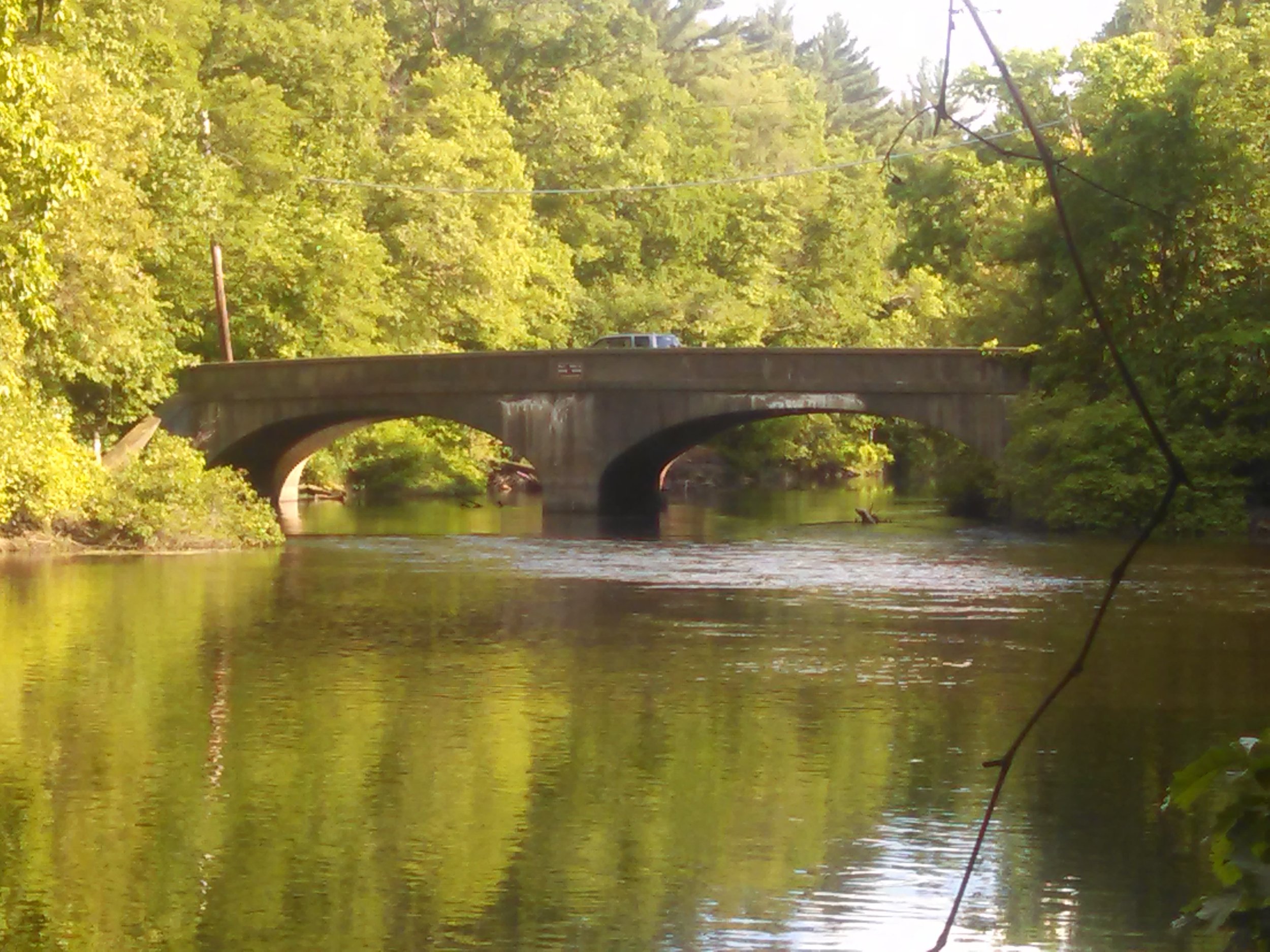
Needham lies on the north side of Norfolk county. It's area is roughly in the shape of an acute, northward-pointing triangle. The Charles River forms nearly all of the southern and northeastern boundaries, the town line with Wellesley forming the third, northwestern one. In addition to Wellesley on the northwest, Needham borders Newton and the West Roxbury section of Boston on the northeast, and Dover, Westwood, and Dedham on the south.
Check out other communities we service
Boston Neighborhoods
Back Bay, South End, Downtown, Fenway, South Boston, Seaport, East Boston, Allston, Brighton, Jamaica Plain, West Roxbury, Roslindale
North Shore
Swampscott, Marblehead, Salem, Peabody, Lynnfield, Wakefield, Reading, North Reading, Middleton, Danvers, Beverly, Manchester by the Sea, Gloucester, Rockport, Essex, Ipswich, Hamilton, Wenham, Topsfield, Boxford, North Andover, Andover
North of Boston
Cambridge, Somerville, Winchester, Medford, Malden, Melrose, Stoneham, Woburn, Saugus, Arlington, Lexington, Belmont, Burlington, Wilmington
West of Boston (Metrowest)
Brookline, Newton, Weston, Wellesley, Sudbury, Wayland, Lincoln, Waltham, Watertown, Dedham, Needham, Sudbury, Framingham, Natick, Westborough, Southborough, Marlborough, Hudson, Ashland, Dover
*content on this page is a mixture of original and pulled from multiple locations including Wikepedia